The far south
Chilean Patagonia takes up the Region of Aisen del General Carlos Ibañez del Campo and the Region of Magallanes y de la Antartica Chilena (Chilean Antarctica).
– The Region of Aisen del General Carlos Ibañez del Campo is administratively split into four provinces, Aisen, Coihaique (regional capital), General Carrera and Capitan Prat. It has a surface area of 108,494.4 km2 and is located between the 43º38′ and 33º57′ southern parallels and from the 71º06′ western meridian to the Pacific ocean. Its northern border is the Region of los Lagos; the southern border is the Region of Magallanes y la Antartica Chilena; the eastern border is Argentina and the western border is the Pacific ocean. According to the data obtained from the 2002 Census, this region has 91,492 inhabitants, making it the least populated in the country, representing only 0.6% of the national total.
– The Region of Magallanes y de la Antartica Chilena regional capital is Punta Arenas and administratively it is made up by four provinces: Magallanes, Ultima Esperanza, Tierra del Fuego and Antartica Chilena. The mainland territory is located between 48º37′ and 56º30′ southern latitude, including the Diego Ramirez islands. Chilean Antarctic Territory is located between 53º and 90 º western longitudes all the way to the South Pole.
This region is the southernmost part of Chilean territory. Its northern border is the Region of Aisen, around the channels of Castillo, Fallos, Adalberto and Messier (from the Chilean sea to the Tempano fiord and from Messier channel to its eastern tip). The eastern border is Argentina and the western border is the Pacific ocean. To the south, the border of the American area is the Pacific ocean, and in the Antarctic territories, the border is the South Pole. Chile claims sovereignty over the land between the 53 and 90 meridians. It has a surface area of 132,291.1 km2, which equals 17.5% of the entire nation’s surface area, without counting Chilean Antarctic Territory, which has an area of 1,250,000 km2.


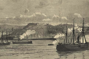
 En 1866 Valparaíso fue bombardeado