In chapter twenty three of our collection, we have gotten to know the new region of Arica y Parinacota.
Region of Arica y Parinacota
– The region of Arica y Parinacota’s northern border is Peru, to the south it’s border is the region of Tarapaca, to the east it runs into Bolivia and to the west it meets the Pacific ocean.
– The region’s total population is 189,644 inhabitants, which equals 1.3% of the national population, and its population density is 11.24 inhabitants/km2.
– The regional capitol is Arica and administratively, it is split into two provinces, Arica and Parinacota, and into four comunas: Arica, Camarones, Putre and General Lagos.
Physical geography, hydrographical geography and climate
– Five of Chile’s main basic landforms can are found in this region. They are: coastal plains, the coastal mountain range, intermediate depression, high plateau and the Andes mountains.
– The lakes, saltpans and lagoons present in this region are formed by the rains that fall in the high plateau in summer, which accumulate, forming new water resources.
– There are four types of climate in the region of Arica y Parinacota: desert climate with abundant cloudiness, desert climate, marginal altitude desert climate, and altitude steppe climate.
Economy and tourism
– Mineral resources are abundant in this region, which make it one of the most important mining zones of the country.
– A few attractions of the Province of Parinacota are: Lauca National Park, Socoroma, Belen, Chungara lake, Putre, Nevados de Putre, Caquena, Guallatiri and Las Vicuñas National Reserve.


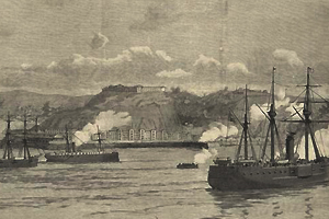
 En 1866 Valparaíso fue bombardeado